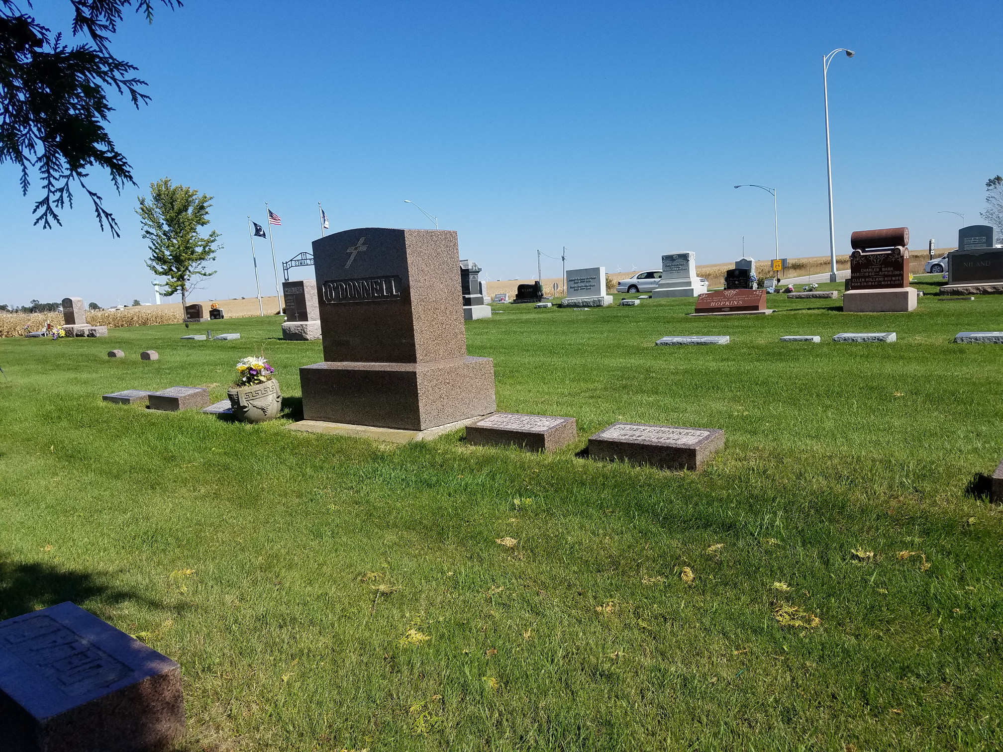
St. James Cemetery Map
Gravesite Detail
Block / Lot / Grave
A / 22 / 4
Latitude
42.008730
Longitude
-93.310026
Resident
"O'Donnell" family stone
Birth Date
1886
Death Date
1969
Lot Owner
Roy O'Donnell
Cremation
No
Comments
Click on photo for larger version
Close this window/tab and go back to map