St. James Cemetery Map
Gravesite Detail
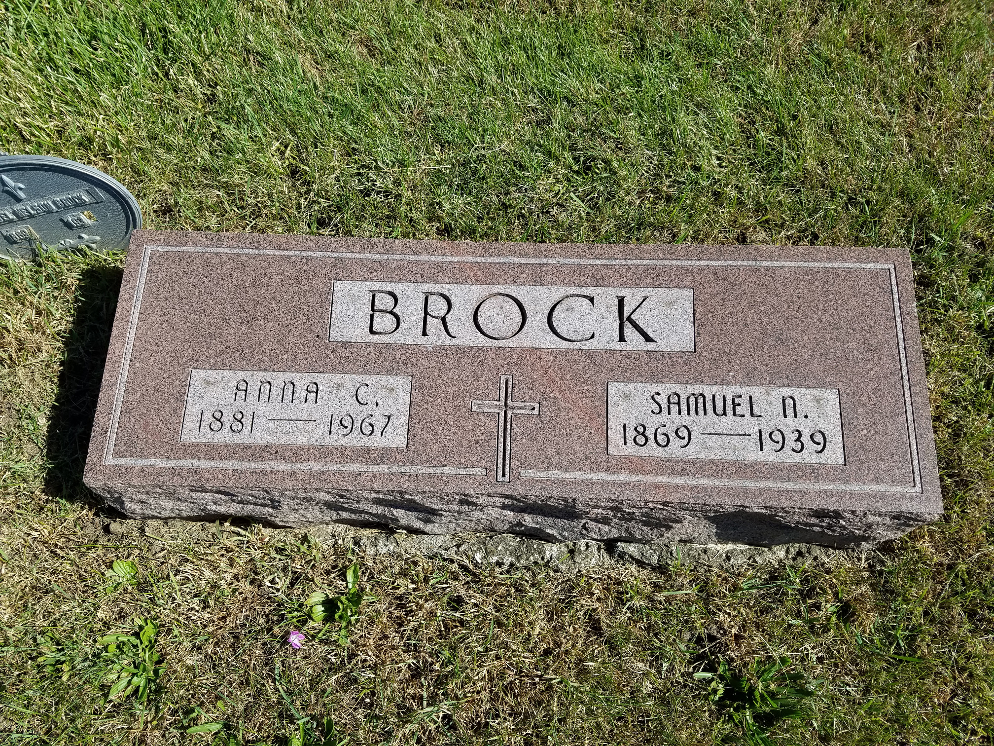
Block / Lot / Grave
B / 10 / 8
Latitude
42.008347
Longitude
-93.310099
Resident
Brock, Samuel N.
Birth Date
1869
Death Date
1939
Lot Owner
N. Malliet
Cremation
No
Comments
Click on photo for larger version
Close this window/tab and go back to map